Galileo Galileidespite the recent statements of the Minister of Culture Sangiuliano, did not inspire Christopher Columbus leaving for the Indies (which later turned out to be America), also because he lived many years after Columbus: he was born in 1564, when the Genoese navigator had been dead for over fifty years. The Genoese navigator based his travel to America especially on the studies of a Tuscan cartographer and mathematician, Paolo dal Pozzo Toscanelli, who in 1474 (18 years before the “discovery” of America, which occurred in 1492) had hypothesized the possibility of reaching the East by sailing west. Columbus, in fact, did not set out to discover a new continent, but to reach it across the Atlantic coasts of Asia, which he believed were closer to Europe than they actually were. Indirectly, Columbus’ voyages also drew inspiration from Geography by Claudius Ptolemya work from the 2nd century AD which Toscanelli had used and, perhaps, from the planisphere drawn by the cartographer Henry Martello. Furthermore, the Genoese navigator was an attentive reader of the Million by Marco Polo, from which he drew his knowledge of the East. Let’s delve deeper into Columbus’ sources and knowledge before his departure.
Columbus’ goals: to reach the East by sailing towards the West
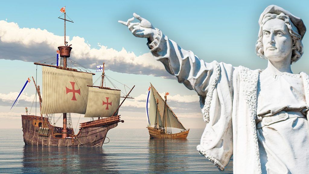
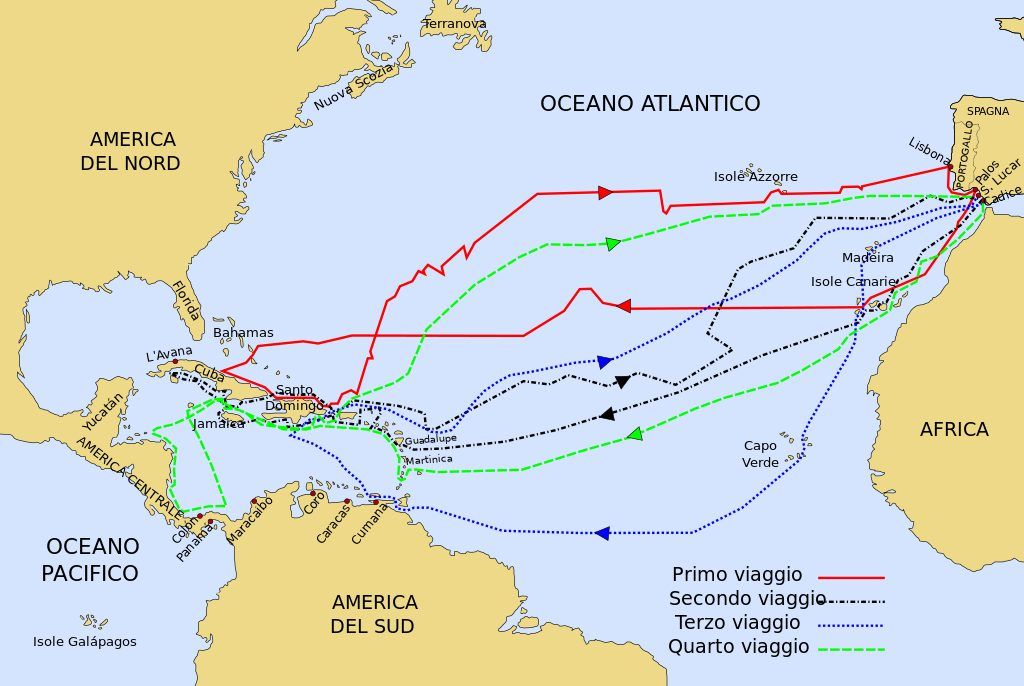
Columbus, as we know, he discovered America by chance. His aim was to reach the East by sailing towards the West and precisely to achieve this objective he had obtained funding for his first voyage from the Kingdom of Castile. Queen Isabella, in fact, was interested in finding a new route to the Indies, in order to beat the commercial competition of the Portuguese.
Columbus, however, had miscalculated the distances: He believed that Asia was about 4,400 kilometers from the Canary Islands, while the actual distance is about five times greater. At the time of Columbus there were no ships capable of covering the 20,000 km that separate Spain from the coasts of Asia, also because no vessel could stow all the supplies necessary for the crew. Columbus and his sailors would therefore have died in the ocean if, in the place where they imagined they would find the Cipango (name with which Marco Polo called Japan), had not found another land: America. But why was Columbus convinced he could reach the East by sailing west and why did he make the calculation error?
Geographical knowledge from the time of Columbus
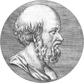
In the 15th century, when Columbus lived, the knowledge that the Earth was spherical was widespread among all cultured people. The sphericity of the Planet had been hypothesized since ancient times and in the 3rd century BC a scientist, Eratosthenes of Cyrenehe had been able to calculate its circumference with reasonable precision.
A work from the 2nd century AD was also known to scholars of the Late Middle Ages and the early Modern Age, the Geography of the scientist Claudius Ptolemy, who, unlike Eratosthenes, had made an error in evaluating distances, estimating that the Planet was smaller than it really was. Ptolemy’s study – which, beyond the calculation error, was fundamental for the birth of modern geography – was rediscovered in Europe between the 14th and 15th centuries.
Columbus’ sources of inspiration
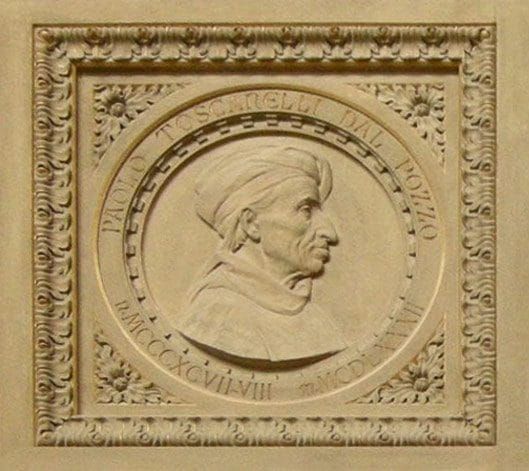
Christopher Columbus’ main source of inspiration, however, was not Ptolemy, but the mathematician and cartographer Paolo dal Pozzo Toscanelliborn in Florence in 1397 and died in Pisa in 1482.
Toscanelli had created a planisphere based on Ptolemy’s Geography and had argued, in a letter of 1474 to the Portuguese canon Fernan Martins, that to reach the Indies more quickly one had to sail west across the Atlantic. Toscanelli, following Ptolemy, believed that the distance between Europe and Asia was shorter than the real one.
The Florentine cartographer’s theories were well known to Columbus, to the point that he transcribed the letter to Martins on the blank pages of a book in his possession. Columbus therefore drew from Toscanelli both the idea of reaching the East across the Atlantic and the miscalculation.
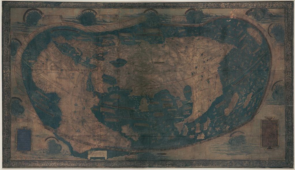
Perhaps Columbus had also seen the planisphere drawn in 1491 by the German Heinrich Hammer (Italianized as Enrico Martello), which in turn “shortened” the distance between the Asian coasts and Europe, and other maps.
To get to know Asia and the East, however, the navigator made use of the work of the most famous medieval traveller: the Million by Marco Polo, which he read and annotated with great attention. When he arrived at the Caribbean islands, he thought he was in an outpost of the Kingdom of the Great Khan described by Polo. This too, as we know, was a mistake.


