Ancona, 24 June 2024 – The heat and good weather typical of summer seemed to have arrived, but the current from northern Italy arrived last weekend and also affected the Marche on Sunday, reporting instability in forecast. The same will also be true for the next few days, where we will have to wait at least to return to the sea Thursday 27 June, when the sun rises again along the Marche coast. According to national forecasts, central-northern Italy will be dominated in the next few hours by cloud accumulations that they will bring intense thunderstorms also on Marcheespecially in the hinterland, given that the energy accumulated last week, during the ‘Saharan’ heat that arrived throughout Italy, was transformed into kinetic energy with the arrival of the cooler current from the Atlantic.
Strong thunderstorms and weather warnings in Emilia Romagna
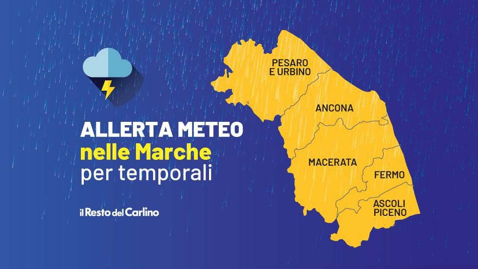
Yellow warning for thunderstorms: here’s where
If we look instead at the Marche, the Amap weather bulletin (the regional agremeteo service) explains that the bad weather will remain until Wednesday included due to “a anticyclonic block centered on the Black Sea, which will struggle to evolve eastward.” In the second part of the week, then, the current that brings instability “will finally manage to pierce the anticyclonic barrier and – we read again – another one will arrive in its place North African anticyclonic undulation, with conditions returning to take on a typically summery appearance. While temperatures will rise.”
For the day of Tuesday 25 Junethe Marche Region has issued an ordinary criticality level (yellow colour) throughout the territory for i temporal. After those who arrived in the central-north in the morning, “i phenomena more intense – we read – will develop during the second part of the day on the high-hilly and hilly sectors of the region, in local extension towards the coastal strip. The cumulative amounts could be abundant locally.”
The forecast for Monday 24 June
Today, the clouds will intensify more and more starting from lunchtime and will pour water only in the hinterland of the region with strong thunderstorms especially in the afternoon. Minimum temperatures will be slightly decreasing, the maximums instead slightly increased. It will range from 26 degrees to Ascoli Piceno And Stoppedfrom the 24th of Anconafrom the age of 30 Pesarofrom the 23rd of Urbino And Macerata, at minimums of 17, 16, 16, 19, 17 and 12 respectively for the provinces mentioned. The winds will be a stiff breeze coming from the north, the sea will be rough.
The forecast for Tuesday 25 June
For tomorrow, Tuesday 25 June, the sky will be slightly or partially overcast in the morning, before the arrival of the clouds always in the central hours of the day and in the afternoon – due to the accumulations that will occur inland – and the clearings in the evening. THE temporal they will be of strong intensity, mainly located in the hinterland but without excluding the coasts, especially the central-northern ones of the Pesaro area. The winds will generally be weak and northerly, more tense on the coasts from the afternoon. Temperatures are always stable, with maximums of 27 degrees Ascoli Piceno28 a.m Stopped24 ad Ancona23 Macerata31 Pesaro23 Urbinoat lows of 17, 16, 16, 12, 21 and 18 respectively.
May weather, fourth month with lower than normal rainfall
As finally reported by the meteorologist Danilo Tognetti of the Amap, the past month of May recorded a temperature which, if still higher than normal, came close to the seasonal averages with a difference of less than one degree centigrade, which it hasn’t happened since August 2023. Just May was another month, the fourth of 2024, with lower than normal rainfall. The average total precipitation for the last 12 months is 660 millimeters of water and it appears to be the eighth lowest value since 1961. The average temperature of the last 12 months has instead reached the threshold of 16 degrees, a value never before recorded by our network, an annual record since 1961. That from the beginning of the year, instead, it is 11.7 degrees Celsius, which is 1.9 degrees higher than in 1991–2020. At the moment, therefore, this year it turned out to be the warmest since 1961tied with 2007.


