Article dated 06/29/2024
ore 10:20
by Mattia Gussoni Meteorologist
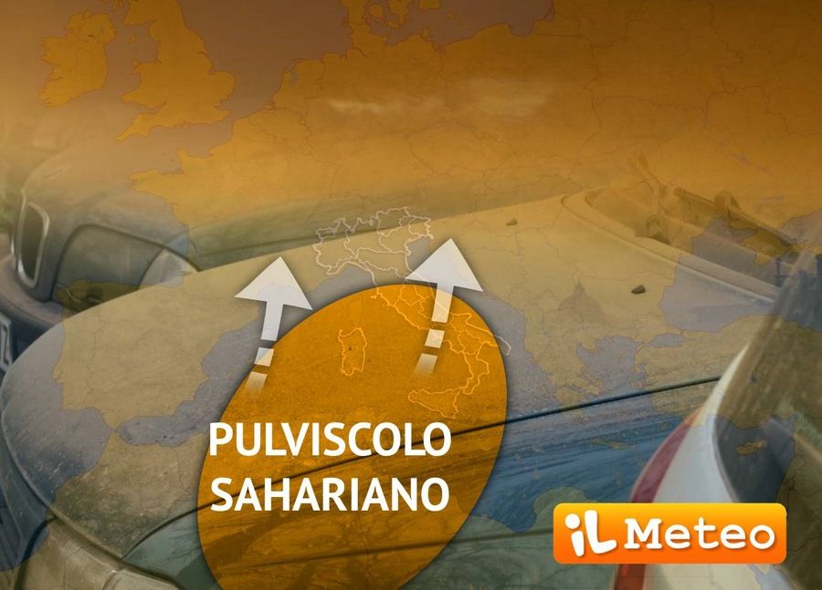
New invasion of sand from the Sahara desert on Italy. In the next few hours it will reach the peak of maximum expansion, then interacting with a thunderstorm.
But why is this happening so many times in recent years?
The answer must be sought in the particular synoptic configurations that are being repeated more and more frequently over the Mediterranean basin, i.e presence of the vast African anticyclone. In fact, compared to the past when the milder Azores anticyclone dominated the scene, with climate change taking place we increasingly find ourselves having to deal with the sub-tropical high pressure arriving from Africa and, among the consequencesin addition to increasingly extreme heat, we are also seeing a greater contribution of Saharan dust.
In the next few hours the formation of a deep and insidious cyclone between the Atlantic Ocean and the Iberian Peninsula, will be the basis of a constant recall of warm currents from the southern quadrants straight from the Sahara desert.
This immense atmospheric mechanism will favor the arrival of large quantities of desert dust which will concentrate in suspension at the highest levels of the atmosphere, ready to reach, after a long journey, also our country. According to the latest updates (Skiron, University of Athens), the key days will be Saturday 29th and Sunday 30th June: the arrival of a disturbance (Saturday afternoon/evening) will then favor the settling on the ground of all the dust present in the atmosphere due to precipitation.
Are you planning to wash your car? It might be better to postpone, especially if precipitation is expected.


