HERE TO SUBSCRIBE TO THE BOLOGNATODAY WHATSAPP CHANNEL
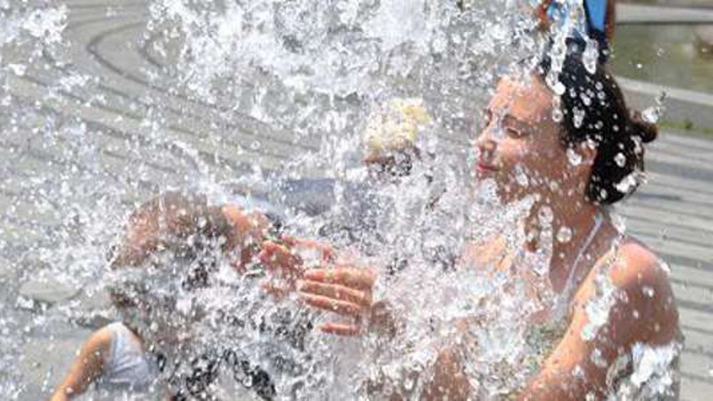
It will be a very hot weekend that we are about to experience in Emilia-Romagna. The pressure on the central Mediterranean is increasing, thanks to the return of the African anticyclone that will favor a period of stable and mostly sunny weather until the end of the week. Temperatures will rise in our region, with maximum values that will reach 33 – 35 degrees in the plains on Saturday 29 June, the hottest day. In particular, peaks of 34 degrees are expected in Piacenza and Parma, 35 in Modena, Bologna and Ferrara, 32 in Ravenna and Cesena, 33 in Forlì, 31 in Rimini.
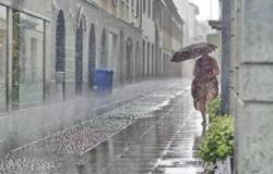
Rain and showers from next week
The new week will begin with good weather, always quite warm, but on Monday evening a front of instability descending from the Alps will reach the northern borders of our region, causing the first showers and thunderstorms. On Tuesday this should pass over much of Emilia Romagna, distributing scattered showers and thunderstorms with a clear reduction in temperatures.
Peaceful also in Bologna
Even in Bologna, as stated on the 3bmeteo website, Saturday 29 June will be characterized by stability, without major variations compared to the previous days, with only some thicker cloud accumulations in the afternoon hours but without related phenomena.
Good weather also on Sunday 30 June, while a new worsening of the weather seems possible from Monday. Increasing heat over the weekend (possible peaks of 35-36 degrees).
Yellowish sky due to Sahara dust
With the North African anticyclone in the next few hours, atmospheric dust will also return, which will make the sky yellowish. But compared to what happened last week, Pierluigi Randi, certified meteorologist and Ampro meteorologist (Association of professional meteorologists), is keen to reassure, “it will have a shorter duration, with a peak probably on Saturday evening”.
The atmospheric dust, Randi clarifies in a post on Facebook, will come from the Sahara. “Rather strong winds are needed, generally above 50 – 60 kilometers per hour, over vast sandy desert areas to activate the lifting of dust – he explains -. Naturally a mechanism is needed to activate these winds, mainly depressions in the Iberian area or even further south; and high pressures-subtropical anticyclonic promontories further east. The currents lift huge quantities of dust and desert dust, creating real clouds, carried towards the middle-high troposphere by ascending currents that favor a movement over large distances, which is greater the greater the baric gradient between high and low pressures”.
“The orography can also encourage vertical motions, such as the impact with the Atlas reliefs – continues Randi -. Once raised, this dust can travel enormous distances, until it reaches the Mediterranean area and Europe , dirtying and clouding our sky”. As for the deposition of this dust on the ground, it can occur through “wet deposition” and “dry deposition”. “In “wet deposition” precipitation is needed – explains the expert -: the rain drop intercepts the dust present in suspension, depositing it on the ground. But not only that, it is the drop itself that is born by “building” itself on these impurities which act by condensation nuclei. In “dry deposition” the dust accumulates on the ground by sedimentation, leaving small accumulations”.


