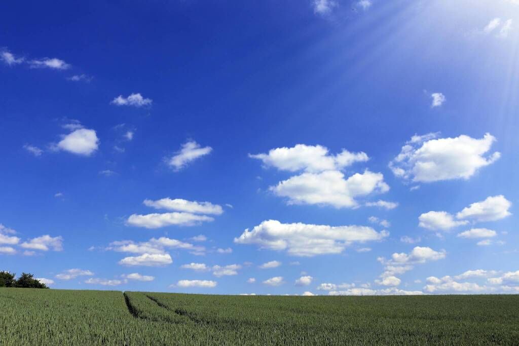
The action of the cyclonic vortex which has influenced the weather conditions of the last 4 days has not yet subsided. In several Italian regions, Emilia Romagna first and foremost, where it continues to rain with many waterways at risk of flooding, it has also caused extensive damage. Even the Granda is counting in the south-western sector put under hydrogeological stress by the continuous rains and the guard must not be lowered because today too the bad weather will hit more or less the same areas…
Dear readers of CN24, good morning and welcome to weather bulletin of the province of Cuneo from Tuesday 25th to Friday 28th June 2024.
The action of the cyclonic vortex which has influenced the weather conditions of the last 4 days has not yet subsided. In several Italian regions, Emilia Romagna first and foremost, where it continues to rain with many waterways at risk of flooding, it has also caused extensive damage. The Granda is also counting in the south-western sector put under hydrogeological stress by the continuous rains and the guard must not be lowered because today too the bad weather will hit more or less the same areas, although with less persistence and strength. For a slightly more structured break we will have to wait until Thursday, although unfortunately it will not be long-lasting and in the mountains the downpour will be around the corner again from Friday.
Today, Tuesday 25 June.Very cloudy or overcast skies, with rain that will be a relay hitting mainly the western and southwestern corner of the province. Fortunately, the persistence has disappeared, but given the state of saturation of the soil, attention is required. Wind of little significance coming from the eastern quadrants. Temperatures rising slightly.
Wednesday 26. An almost clear start, then from midday storm-like blooms will decorate the Alps. Subsequently they should produce patchy showers which between the Maritimes and Liguri could be locally intense, even if transitory. Wind tending to breeze regime. Temperatures rising further.
Thursday 27.Rather clear skies for most of the day, although the return of desert dust (in lower concentration) will make it a little milky. Return of a bit of sea to the more moderate or tense one at the outlet of the Bormida valley. It will be ‘low’ so not able to carry its influence as far inside, but just enough to dampen convection by drying the atmosphere. Temperatures rising.
Trend for Friday 28th.Possible return of conditions of weak mountainous instability in the afternoon. Temperatures rising further, but without excesses.
Well, I say goodbye and see you until Friday morning. HI!


