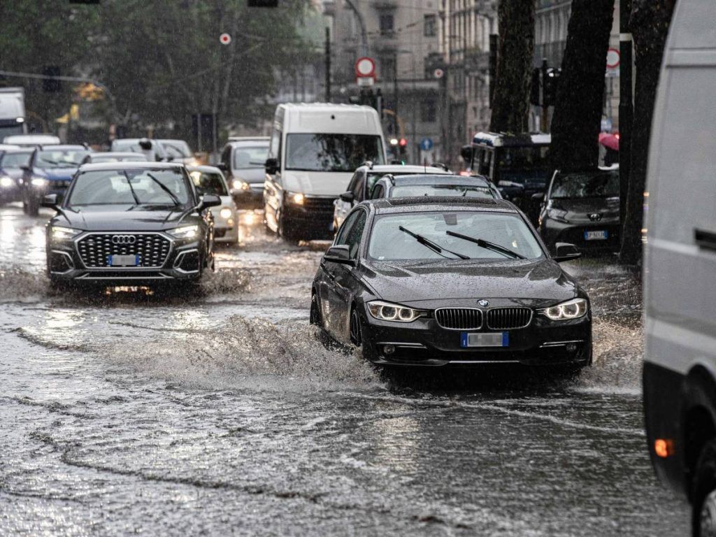
We are now in the middle of summer but more than half of Italy hasn’t noticed it yet: in the last few hours an area of bad weather has taken the place of the African anticyclone with lots of clouds, rain, downpours and thunderstorms as well as a clear drop in temperature compared to in recent days. Weather conditions will see a “cold drop“still in action in our country with phenomena also in the next few hours.
What it’s about
As the satellite images show, the entire cloud system rotates counterclockwise around a minimum of low pressure over the upper Tyrrhenian Sea caused by cold and unstable air at high altitude which has catapulted onto our seas directly from Northern Europe where they flow, even in midsummer, colder currents that met the heat of the lower Mediterranean latitudes. In these cases here is the possible evolution in “cold drop, or in a block of cold air at high altitude that detaches from a larger Atlantic or Northern European depression. In short, an area of the atmosphere where it is much colder than all the surrounding areas. This nucleus, driven by unstable currents, tends to follow trajectories that are not always predictable and often takes on a retrograde direction (from east to west)”. explained Antonio Sanò, director of Ilmeteo.it.
Where it will rain the most
For these reasons, Piedmont, Lombardy, Veneto and Emilia-Romagna will be hit by new rains on Monday 24 June. Not even the central regions will be spared with Tuscany, Marche and Umbria in pole position to receive the largest quantities. Some showers will also wet Sardinia. Also be careful tomorrow, Tuesday 25th, with new potentially intense storms accompanied by hailstorms in more or less the same areas. An improvement is only expected starting from Wednesday with new storms but mainly relegated to the North and the Adriatic areas.
What will happen to temperatures
It will undoubtedly be cool, for the period, in the Centre-North, especially in the areas affected by the phenomena: in the central-northern regions the decrease, which already began at the weekend, will also be greater than 10°C compared to previous days. Decreases are also arriving in the South and in Sicily after the African heat of the anticyclone Scipione.
The next trend
From the second part of this week, the last of the month of June, high pressure “it wouldn’t seem so solid: in fact, the possibility of storm breaks over the following weekend is not completely ruled out, confirming a trend that has been going on for some time now, made up of very hot and stable periods alternating with quick – but incisive – breaks thunderstorms”, points out
the expert. In short, a trend that is certainly different compared to past years at least for the Centre-North which could continue more or less unchanged even with the onset of the month of July.
ALL THE PREDICTIONS HERE


