The new week will begin under the sign of strong instability with several thunderstorms, showers and local hailstorms. However, the meteorological picture is destined to undergo a new and decisive change.
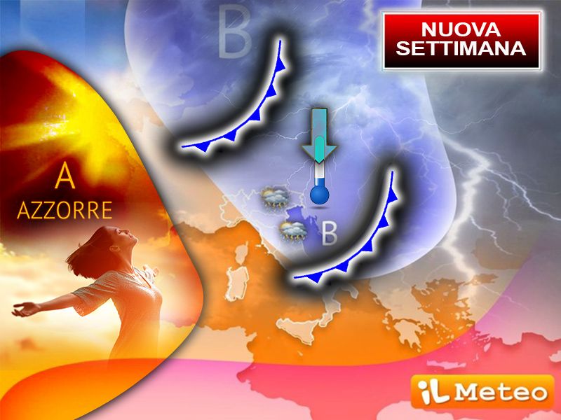
The announced phase of strong atmospheric instability will find its origins in a vast low pressure system, centered between the British Isles and Scandinavia, which will send well 2 disturbed impulses towards the Mediterranean, first influencing Northern Italy and subsequently also the rest of the Peninsula.
Monday 1 July will see the arrival of first unstable front ready to cause showers and thunderstorms, especially in the northern regions. Lombardy, Veneto, Friuli Venezia Giulia and towards the evening also Emilia will be particularly at risk of intense phenomena. The high concentration of heat and humidity accumulated in the lower layers of the atmosphere, combined with the strong contrasts between different air masses, will create the ideal conditions for the development of impressive storm cells. These systems could trigger heavy showers, sudden gusts of wind and local hailstorms.
The instability will then continue between the evening of Tuesday 2nd and Wednesday 3rd July, with a second impulse which will bring the risk of strong storms immediately to the North-West and then move, by Wednesday, to a good part of the Centre-South. This front will be accompanied by cooler air coming from northern Europe, resulting in a drop in temperatures which could even drop below seasonal averages.
Afterwards, starting from Thursday 4 Julythe meteorological scenario will undergo a radical change: the anticyclone, this time from the Azores, will courageously push towards the mare nostrum, temporarily replacing the more oppressive African anticyclone that has dominated in recent days.
This high pressure system, typical of Italian summers of the past, will extend from the Atlantic Ocean towards central-western Europe, also embracing the Italian peninsula. The result will be a clear improvement in weather conditions, with mostly sunny days and pleasantly warm temperatures and without the extremes of recent days.
This change, in fact, will mark a return to the summer climate model more typical for Italy. The Azores anticyclone, with its high pressure center positioned over the Atlantic Ocean near the islands of the same name, was once the dominant figure of the Mediterranean summers. Its influence guaranteed periods of atmospheric stability often accompanied by moderate heat, markedly less oppressive, creating that ideal and much appreciated summer climate.


