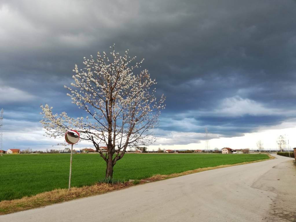
Today still sunny, but… Adverse weather is plotting on the horizon, in fact already this evening the first creaks of the weather could appear in the form of showers in the westernmost part of the province…
Dear readers of CN24, good morning and welcome to weather bulletin for the province of Cuneo from Friday 28 to Sunday 30 June 2024.
Still sunny today, but… Adverse weather is on the horizon, in fact already this evening the first cracks of the weather could appear in the form of showers in the westernmost part of the province. On Saturday it could happen again and, even if the forecast is still rather complex, the thunderstorms expected to develop from the Varaita valley upwards could be locally intense. Next week will probably be worse, so we’ll have to update you.
Today, Friday, June 28th.Clear skies, then cloudiness will become more persistent over the north-western part of the province and the Cottian Alps. There, the onset of some thunderstorms in the middle of the afternoon is likely, which will tend to develop towards the north-northeast. Wind without particular values to report. Temperatures rising.
Saturday 29.Complicated forecast. A day that will tend to cloud over immediately, with possible strong thunderstorms during the afternoon in the areas affected by the first phenomena on Friday. In theory, the bulk should be moved more towards the province of Turin, but the margin of error currently present does not allow for further details. Vento. The wind also seems to want to get going, with storm surges forecast from the east on the western piedmont and moving towards France from early afternoon. Given the significant pressure jump in a short time, storm surges cannot be ruled out. Temperatures decreasing.
Sunday 30.Possible morning fog on the Po Valley stretch, then dissolving. In general there will then be transit of clouds from the southwest as a sign of the change in circulation taking place. Wind easing and veering from the southwest, which will overshadow the western part of the province. A bit of sea breeze will appear as you exit the Bormida valley. Temperatures: maximum temperatures rising very slightly, minimum temperatures decreasing.
Well, that’s all for today, I’ll say goodbye and see you next time, bye!

