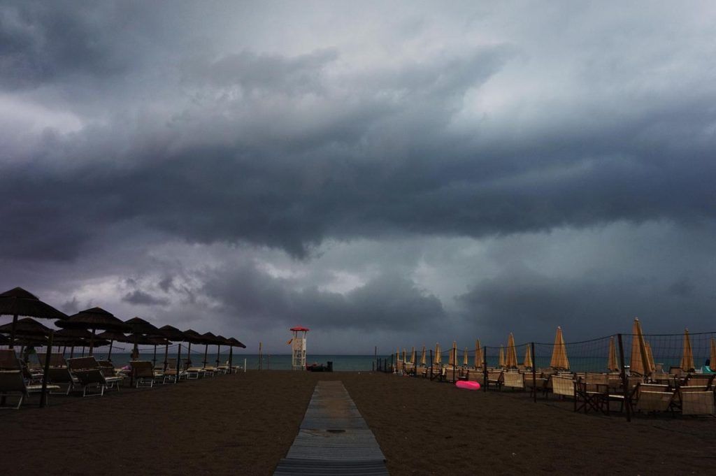
The weather is getting worse in our region and it won’t be a beach Sunday. In fact, pressure is decreasing due to the arrival of an Atlantic depression which will also lead to Tuscany thunderstorms in the next few hours. From here theyellow alert.
The alert
The operations room of the Civil protection regional has issued a yellow code for strong thunderstorms which will affect the entire region with validity from 8am to 10pm on Sunday 23 June.
Precipitation, predominantly showers or thunderstorms, will be locally heavy, more frequent and likely in the northern and central areas. Possible hailstorms and gusts of wind.
Cold drop
It’s all the fault of thecold drop”. What is that? A block of cold air at high altitude that detaches from a larger Atlantic or Northern European depression. It essentially occurs when a cold air mass is abruptly surrounded by warm air. Temperatures also dropped, with the maximum between 26-27 degrees.
How long will it last
The bad weather situation in Tuscany is destined to remain at least until Wednesday 26th, as Lamma also explains in its bulletin.

