The situation in Lombardy is improving after yesterday’s wave of bad weather (Friday 21 June). There were over 340 interventions carried out by the firefighters in the regional territory.
From yesterday evening until this morning, firefighters worked tirelessly to deal with the devastating effects of the wave of bad weather that hit the Lombardy region. Thanks to the prompt response and commitment of the rescue teams, the situation begins to improve.
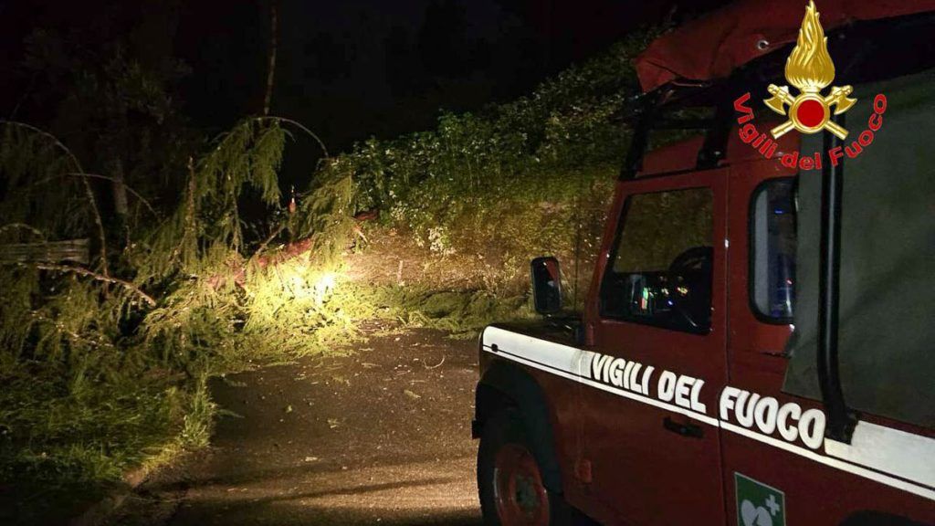
The bad weather also hit Val Seriana hard with a whirlwind that sent the roofs of several buildings in Ponte Nossa and Vertova flying. There was no shortage of other damage and inconveniences such as fallen trees and flooding.
Below is the data relating to the interventions carried out in the main provinces of the region:
– Milan: 108 interventions
– Brescia: 17 interventions
– Sondrio: 36 interventions
– Varese: 7 interventions
– Pavia: 58 interventions
– Cremona: 6 interventions
– Lodi: 5 speeches
– Bergamo: 33 interventions
– Como: 18 interventions
– Lecco: 36 interventions
– Monza: 19 interventions
In the meantime, more rain is on the way, although no particularly intense events are expected. This is the forecast released today at 2pm by the Civil Protection of Lombardy: «A vortex of low pressure at high altitude, now centered on Northern France, is moving rapidly towards the Western Alps to reach, within 24 hours, the Ligurian Gulf where it will station until Monday 24/06. It will therefore be the movement of this vortex that will influence the weather in the region in the next 72 hours at least favoring precipitation in all areas, at times intense but with a reduced thunderstorm component. Considering the uncertainty associated with the trajectory that the vortex will follow, on which the distribution and accumulations of rain will strongly depend, the period is identified between 6pm today, Saturday 22/06, and 12pm tomorrow, Sunday 23/06. as the most intense phase of the disturbed event. In particular, local showers will be possible in mountainous areas this afternoon; Between late afternoon and evening an increase in instability is expected with the possibility of thunderstorms across much of the region, generally of short duration, with a slightly higher probability of triggering in the High Plains area compared to the surrounding areas. Wind reinforcements and gusts expected at this stage during thunderstorms. The greatest accumulations of rain are expected between the night and morning of tomorrow, 23/06, or in the first 12 hours of the day; from the afternoon the rainfall will gradually tend to affect the plains and the Apennines more than the Alpine and pre-Alpine ones where they will tend to become less intense or intermittent. The probability of thunderstorms is limited, mainly in the second part of the day. Ventilation reinforcements which will mainly concern the period between night and late afternoon, with local accentuations from the North in Valchiavenna and from the North-East on Lake Garda”.


