The very hot phase arriving in Italy at the hands of the new has not yet begun African anticyclone Minos that the short and medium-term weather maps already see the end: these are the latest updates proposed above all by the European Weather Center (Ecmwf) which draw, starting from Friday 21 June, new scenarios based on temporal also of strong intensity which from the northern regions could also affect a large part of the country.
Heat wave coming
However, first we will have to deal with values of 40°C and higher peaks especially in the middle of the week in Puglia, Calabria and Sicily. Maximum temperatures of 39-40°C also in Central Italy (especially Lazio) but also in the North they will rise significantly compared to recent days and the current weekend with complete atmospheric stabilization (goodbye to afternoon thunderstorms) and daytime values up to 35-36°C with high humidity levels. In short, it will be a heat wave that will affect practically the whole country but the experts Meteolive remember that we are here”in the period of maximum sunshine and duration of the annual day, therefore if the African anticyclone arrives such values (although clearly extreme) are not new to our country”.
Intense summer break
Compared to other occasions, however, although strong, this new African anticyclone could be short-lived. “The boiling phase could be broken by the insertion of an insidious one sagging on the day of Friday 21 Junewhen the thermal contrast linked to the arrival of significantly cooler air from France could lead to particularly intense phenomena, first in the north-west and then in the rest of the north”, underlines Alessio Grosso, editor-in-chief of the weather newspaper.
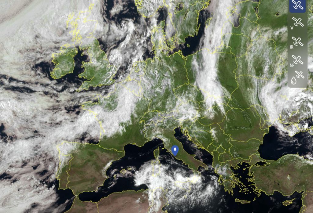
The maps of the mathematical models highlight the clear contrast between the hot Saharan air and the cool air descending from Northern Europe: this mix will create the conditions for strong thunderstorms, hailstorms and local storms starting from Friday to then extend in the afternoon-evening also to Triveneto and Emilia-Romagna.
The next trend
After this phase there are essentially two paths and they will be defined by the next updates: the sagging could become a “cold drop” or move eastwards without affecting the rest of Italy which will remain under the protection of the African anticyclone albeit with lower values. It is interesting to understand what could happen if the first possibility were to occur.”If it evolved into a cold drop, its action on Northern Italy would continue on Saturday with further showers and thunderstorms and then slowly move towards the Center by Sunday 23 June and finally involve even the South between Monday 24 and Tuesday 25 June with thunderstorms”underlines the expert by analyzing the weather maps.
It must be said that it is the least probable hypothesis because there is a middle ground: thunderstorms also in the Center for
a subsequent improvement that would see the arrival of the Azores anticyclone, much less hot than its African “colleague”, the one that characterized Italian summers until the 1990s.
ALL THE PREDICTIONS HERE


