
reading time
2 minutes, 24 seconds
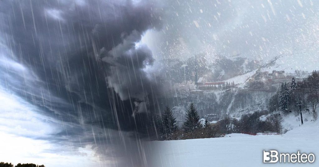
SITUATION 8 AM. From the Arctic latitudes, the influx of very cold currents continues, albeit more attenuated, for the period that is characterizing the current week. The northern flow keeps a depression circulation active which involves Italy with instability phenomena which will be activated especially during the daytime in the Central-Southern regions, but some of these are already present at the start of the day and also involve the North-East.
RAIN AND COLD IN THE TRIVENETO. Residual rain affects Friuli VG and eastern Veneto, after having affected the rest of Veneto and part of Lombardy during the night. All in a very cool context which sees the mercury column oscillate in the plains around 6/8°C.
STORMS IN TUSCANY. The presence of a vortex circulation, albeit not very accentuated, off the coast of Corsica causes unstable conditions in the Ligurian Sea and the upper Tyrrhenian Sea with showers and thunderstorms reaching Tuscany, particularly the Livorno area. Some rain also affects the rest of upper Tuscany, up to La Spezia.
VERY COLD IN THE CENTRAL-NORTH. Where the sunny spells allowed night-time radiation, the minimum temperatures also dropped this night to values that have little to do with those at the end of April, generally 8°C lower than normal. In the North-West, minimum temperatures of up to +1°C are reported in the Biellese, upper Turin and Cuneo areas, only 3°C at dawn in the center of Turin, 1°C at Malpensa airport, 6°C in Milan. Minimum temperatures around 5°C in the internal areas of Tuscany, Marche and Umbria. Cold again today in the Alps with values down to -11°C at 1500m in the Venetian Dolomites.
WEATHER FOR THE NEXT HOURS. To the North Scattered clouds will alternate with even large clearings, except for greater accumulations in the morning over Friuli VG and eastern Veneto associated with some easing showers in the morning. Increasing instability in the Emilian Apennines during the day with some showers, snowy from 1300m, locally encroaching on the Via Emilia. To the Center variability in the morning with greater accumulations and some showers or thunderstorms in upper Tuscany, showers in Umbria and the interior of the Marche. Increased instability in inland areas during the day with scattered showers, including thunderstorms and locally accompanied by hail, locally encroaching on the Adriatic coast but easing in the evening. Snow limit at 1500/1600m. To the South fairly sunny morning, except for thickening and some rain in Tyrrhenian Calabria and Messina. In the afternoon, cloud cover and some rain or showers on the Tyrrhenian peninsula and inland areas in general, locally spilling over to the central-northern Apulian coast but easing in the evening. Snow limit at 1300/1500m. In Sardinia variability in the morning with some rain on the western side, then improvement. Temperatures rising slightly in the Centre-North. For all the details enter the section Italy weather.
Stay up to date on current weather, forecast and climate news in Italy and around the world by consulting our newspaper >> News.
In the event of severe bad weather or storms with the risk of flooding/flash floods, there are certain behaviors to follow to avoid serious dangers, including not underestimating the force of the water on the road during a flood. To know more. >> Here.
Follow 3BMeteo on TikTok


