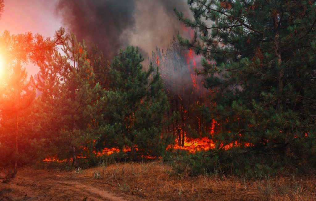
Faced with the increasing frequency and severity of wildfires in California and other areas of the United States, NASA is using a vast data collection derived from terrestrial observations to assist fire management agencies in predicting and managing such environmental disasters.
Fundamental in this process is the use of data collected by Landsat satelliteswhich capture highly detailed images of the Earth’s surface, contributing not only to the mapping of the territory, but also to the surface temperature estimate and measuring natural materials that can fuel fires, such as dense vegetation.
Christopher Pottera research scientist at NASA Ames, emphasizes the importance of the wealth of data accumulated: “We have an archive of satellite imagery data that goes back 40 yearswhich provides us with an extremely rich dataset to build predictive models.” Fire management agencies, therefore, can benefit from more accurate predictions about the possible evolution and direction of fires, thus becoming more efficient in allocating resources and in the fight against fires.
In this scenario, new technologies, such as artificial intelligence and dronesare adopted to improve the safety and effectiveness of rescuers’ interventions.
The California Air National Guard, for example, employs drones to track the progression of fires and capture real-time images of affected areas. Likewise, advanced software allows fire movements to be predicted a few days in advance, significantly improving the firefighters’ ability to fight fires.
One of the most innovative startups in this field it is AI panelwhich uses smart cameras coupled with algorithms to detect fires early, sending alerts to its customers, such as utility companies, before fires can spread and become uncontrollable.
Projections made through NASA’s predictive models can be crucial not only for fight fires but also to predict and mitigate the resulting damage.
Taking the East Bay Hills in the San Francisco Bay Area as an example, Potter illustrates how the agency is able to estimate not only the size of the area and homes at riskbut also the volume of pollutants that could be emitted and the type of harmful gases in the event of a fire in that region. This forecasting capability can extend up to several months in advance.
To further improve wildfire response, NASA is developing airspace management technologies to help drone pilots and operational agencies respond more effectively to disasters. This initiative, part of the Advanced Capabilities for Emergency Response Operations (ACERO)also includes the creation of mobile air traffic management kits, which allow rescuers to view and navigate air traffic safely, even in conditions of poor visibility or lack of cellular coverage.
Kathryn Chapman, a researcher at NASA Ames, points out how Most communications during fires are done by radiooften in areas without cell service, making coordination between responders difficult. “With these new technologies, we have an opportunity to bridge that gap, providing responders with the tools to respond more quickly and accurately,” Chapman says.
In conclusion, thanks to NASA’s commitment and its innovative use of satellite data and new technologies, the fire prevention and response efforts in the driest areas of the United States they can now count on decidedly more effective tools and much more accurate coordination, factors that are fundamental in the fight against these increasingly frequent and devastating natural disasters.


