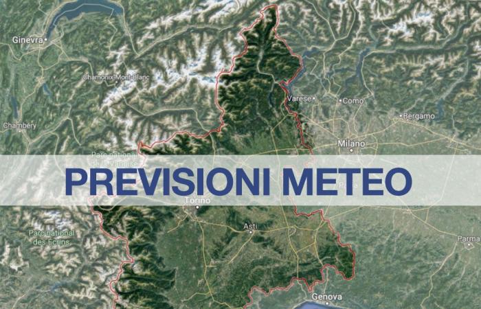
“An anticyclonic promontory of African origin will determine generally sunny skies until Friday in Piedmont, with showers on the Alpine mountains in the afternoon hours of tomorrow. Initial overcomings of the 30°C for various Piedmont locations“: these are the forecast regional, as reported in the bulletin of Arpa Piedmont. “On Saturday, the arrival of a depression from the Iberian peninsula will cause marked instability in Piedmont with locally very strong thunderstorms associated with hailstorms and sustained gusts of wind. On Sunday, the departure of the depression wave towards the northeast will favor an improvement in the weather“.
According to the regional Arpa weather forecast, in Piedmont Tomorrow clear or partly cloudy skies are expected with passing clouds. Cumulus clouds will develop on the Alpine reliefs between late morning and sunset. Weak, locally moderate reversals close to the Alpine reliefs between midday and late afternoon. Zero thermal rising up to 4600 m. Temperatures rising. Venti moderate between west and northwest on the Alpine reliefs, elsewhere calm or weak with breezes.
Saturday 29 initially sunny sky; in the morning consistent cumulus clouds over the western Alpine arc gradually extending and transferring to the rest of the region. First temporal in the morning over the western Alps, gradually extending to the rest of the Alpine arc, to the adjacent piedmont and flat areas and finally to the entire region with the exception of the southern sectors of the provinces of Asti and Alessandria. Local strong or very strong peaks expected. Zero thermal significantly decreasing at 4000-4200 m in the central-northern sector of the region, still at 4400-4500 m elsewhere. Temperature minimums increasing, maximums decreasing. Progressive rotation of the venti from the southern quadrants on the reliefs. In the Alps moderate or strong, in the Apennines weak or moderate. In the plains, calm winds in the morning, weak or moderate from the northwest from the afternoon. Strong gusts in correspondence with thunderstorms. There were also widespread expectations hailstormsespecially on plains and hills. Probable fall of Saharan sand.
To monitor the situation as best as possible weather forecast in real time, below we provide a list of pages with all the useful information to follow the meteorological nowcasting minute by minute:
Below are the links for direct access to the pages with weather forecasts, particularly accurate in detail, for the geographical areas of Italy (links always reachable also from the Menu at the top of all the pages of the site):
Weather Forecast for Piedmont and other Regions:
Continue reading on MeteoWeb


