New online tool to improve transparency and land management
On the occasion of the centenary of Royal Decree no. 3267/1923, the Basilicata Region launched a WebGIS service dedicated to the hydrogeological constraint, improving access to territorial information.
On the occasion of the centenary of the entry into force of Royal Decree no. 3267/1923, which had a fundamental role in the management of forests in Italy, an innovative WebGIS service dedicated to the hydrogeological constraint of the Basilicata Region was presented. This service offers users an improved experience and greater transparency in accessing information on the areas subject to this restriction.
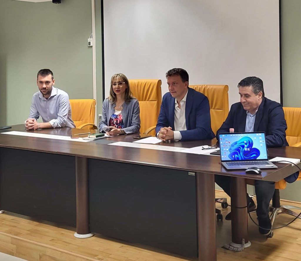
During a meeting held in the Basento room of the Basilicata Region, the Councilor for Agriculture, Alessandro Galella, together with the Director of the General Directorate for Agricultural, Food and Forestry Policies, Emilia Piemontese, and the head of the Hydrogeological Constraint and Forestry Planning OPs of the The Forestry and Territory Protection Office, Mario Donato Nolè, highlighted the potential of this service. The regional R-SDI platform facilitates the planning, monitoring and authorization activities of projects linked to hydrogeological constraints.
Through the regional portal, interested parties such as Lucanian municipalities, technicians, companies in the sector and owners can obtain precise data on the surfaces involved and request permits and authorizations. This tool aims to streamline administrative procedures in this area, allowing faster management of practices, underlined Councilor Galella.


