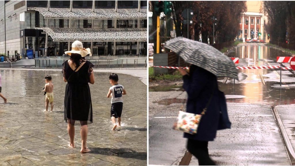
After weather warnings and torrential rains, Lombardy is perhaps starting to see the light at the end of the tunnel. This week, on June 20th, summer will officially begin, at least on paper. And the climate also seems to have gotten the message. In fact, in the next few days an anticyclonic area will arrive in the region which from North Africa will extend across the entire Mediterranean Basin, favoring stable conditions, with mainly sunny days and a rise in temperature compared to the last “frosty” weeks (always considering that we are on the threshold of the hottest season).
Summer “uncorked”, then? Unfortunately, not exactly. Towards the weekend, particularly on Thursday evening, weather conditions could get worse again due to the approach of a trough (atmospheric pressure) which will mainly affect the Iberian Peninsula and which will favor increasingly wetter flows on the north-western sectors, with possible precipitation localized more likely on the western Alpine and pre-Alpine sectors. The day after, Friday 21st, the situation should worsen due to the passage of a depression wave over Northern Italy which will bring showers and thunderstorms even in the plains. Still uncertainty about the weekend: a.m. is scheduled for Saturday gradual restoration of stable conditions.
Tuesday 18 June
Throughout Lombardy serenity reignsexcept intermittently thickening on the reliefs in the morning. Totally absent rainfall, except for isolated showers or local thunderstorms in the afternoon in the Alpine and pre-Alpine sectors. Minimum temperatures stationary, maximum temperatures rising slightly. In the plains minimums between 14 and 16 °C, maximums between 26 and 29 °C. Weak winds both in the plains and in the mountains.
Wednesday 19 June
Also scheduled for Wednesday clear in the morningwith possible transit of clouds and local thickening on the western sectors in the afternoon, dissolving in the evening. No precipitation except for possible isolated showers on the mountains in the hottest hours of the day. Temperatures: minimums rising, maximums stationary or slightly rising. In the plains minimums around 19 °C, maximums around 29 °C. Winds in the plains are weak easterly, in the mountains weak southerly in the morning, strengthening to moderate in the afternoon.
Thursday 20 June
Thursday bad weather will return instead: everywhere irregularly cloudy for medium and high altitude clouds. Weak rainfall in the morning on the western pre-Alpine and Alpine sectors, not excluding part of the westernmost plain, in possible extension also to the eastern reliefs in the middle of the day; also possible with thunderstorms. Minimum temperatures rising, maximum temperatures stationary.
Friday 21 June
On Friday the weather will get worse and they will reign black clouds and rain. The precipitation will be widespread or moderate on the Alpine and pre-Alpine sectors. Stationary minimums and maximums in the plains. Winds strengthening to moderate from the West in the plains, moderate or strong from the South in the mountains.
Saturday 22 June
Saturday a little or more irregularly cloudy. No precipitation or weak residuals in the mountains. Minimum and maximum without significant variations. Moderate westerly winds in the plains, from the north in the mountains.
