
PIEDMONT – It will be sunny throughout this afternoon (Sunday 16th) and then Monday, Tuesday and Wednesday in Piedmont. This is according to the Arpa Piemonte weather forecast issued at 2pm today, which traces these conditions back to a heat zone coming from Africa.
Forecasts
Throughout Piedmont, at least for the beginning of the week, there will be “clear or slightly cloudy skies with scattered cumulus clouds forming close to the mountains which dissolve in the evening. Precipitation: absent except for isolated weak showers close to the Alpine mountains in the afternoon hours”.
As for the winds, they will be “weak and locally moderate on the Alps and southern on the Apennines,
Astigiano and Alessandria”.
Temperatures will be higher than in recent weeks. It starts from a minimum of around 14° up to potentially reaching 30°. It will be warmer in particular in the province of Alessandria and Vercelli, where tomorrow and Tuesday will record 29° and 30°.
Why?
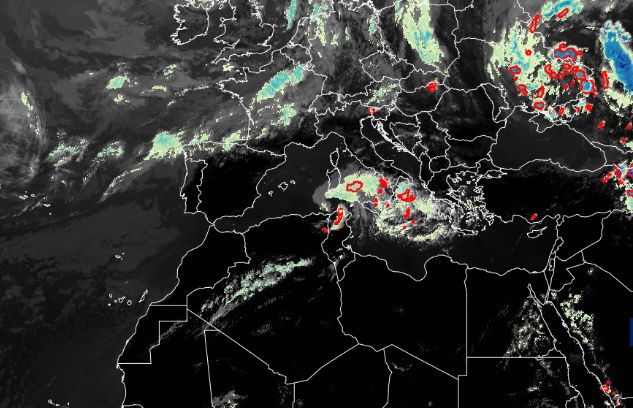
The explanation for this increase in temperatures, according to Arpa, is “the gradual rise of an anticyclonic promontory of African origin over the Mediterranean basin”. In other words, it is an area of high pressure, therefore of warmer air, which comes from Africa and which is now influencing the Italian and Piedmontese weather. Here on Eumetstat you can view satellite images in real time.
Subscribe to the Quotidiano Piemontese channel on WhatsApp, follow our Facebook page and continue reading Quotidiano Piemontese


