The heat is coming. Temperatures will rise in the next few days across much of the country. Let’s see where they will increase the most and above all whether this increase will last or will be just a flash in the pan.
There Spring is continuing to show off one of its most distinctive traits, namely a marked dynamism which manifests itself not only in the variability of time, but also in thermal oscillations. In fact, in just a few days, we have witnessed drastic changes: from the anomalous heat of last week we suddenly moved to conditions that were more reminiscent of Winter; and now we are on the eve of a new turnaround.
The latest updates from the Computing Centers have confirmed that there will be a significant turning point in the coming days.
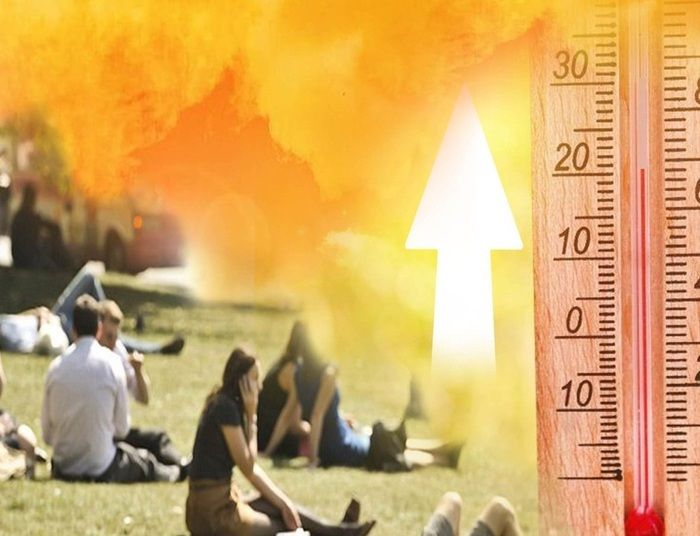
Our attention is particularly focused on Sunday 28 April when an intense cyclonic vortex of Atlantic origin will approach the Mediterranean. This will cause a recall of the warm currents coming from North Africa towards the mare nostrum, favoring the formation of a temporary promontory of subtropical high pressure. The anticyclone, in addition to guaranteeing greater weather stability for much of Italy, will favor temperatures significantly warmer than those of the last few days.
The days to be monitored carefully will be those of Sunday 28, Monday 29th and Tuesday 30th April.
In these three days, temperatures could again reach unusually high levels for the season, with peaks close to 30°C in many areas of the South and Sicily. Even in some areas of the Center, such as in Tuscanythermal values close to are expected 28/29°Cwhile in the North they will be slightly lower and will fluctuate between 24 and 25°C.
This will mark the return of instability in these regions and a consequent drop in temperatures, even by several degrees where the weather will cause more tantrums. Only in the South will the mercury columns not suffer any particular shocks, also due to a drier and partly sunny meteorological context.


