Article from 01/07/2024
ore 11:00
by Stefano Rossi Meteorologist
HEAT STOP. At least temporarily. The general circulation in our country is about to change due to cooler air masses that will not only bring about increasingly marked atmospheric instability, but will also be the basis of a significant cooling.
We are veterans of one Sunday 30th June which was still hot for a large part of the country, in particular for the South and Sicily, where temperatures have once again touched the threshold of 40°C. Even in the Centre and North it continued to be quite hot, with peaks close to 32/33°C in cities such as Rome, Florence, Bologna and Ferrara.
However, especially in the northern regions, the first signs of a change have been felt due to the arrival of slightly cooler and above all less humid air masses.
ROUTE CHANGE
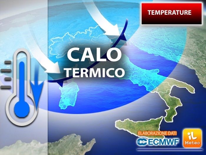
Starting from Monday 1 July an even cooler air mass coming from the North Atlantic will start to make its effects felt, causing unstable weather and an initial thermal relief, starting from the northern regions. The cooling will then gradually extend also to the Centre and the South in the following days and by Wednesday 3 July the temperatures will be very different compared to these last few dayswith values even 10°C lower, especially in the North and Center where we will go from maximum to 35/36°C to values that are unlikely to exceed 24/25°C.
This is thanks to the fact that we will be surrounded by a revived high pressure in the Azoreswhich, unlike its close relative Africandetermines a less oppressive heat thanks to greater ventilation and a lower humidity level.
In short, for a few days it will seem like we are living an old-style summer break, when the season of sunny was always governed byoceanic anticyclone or more affectionately called “the good anticyclone”.
