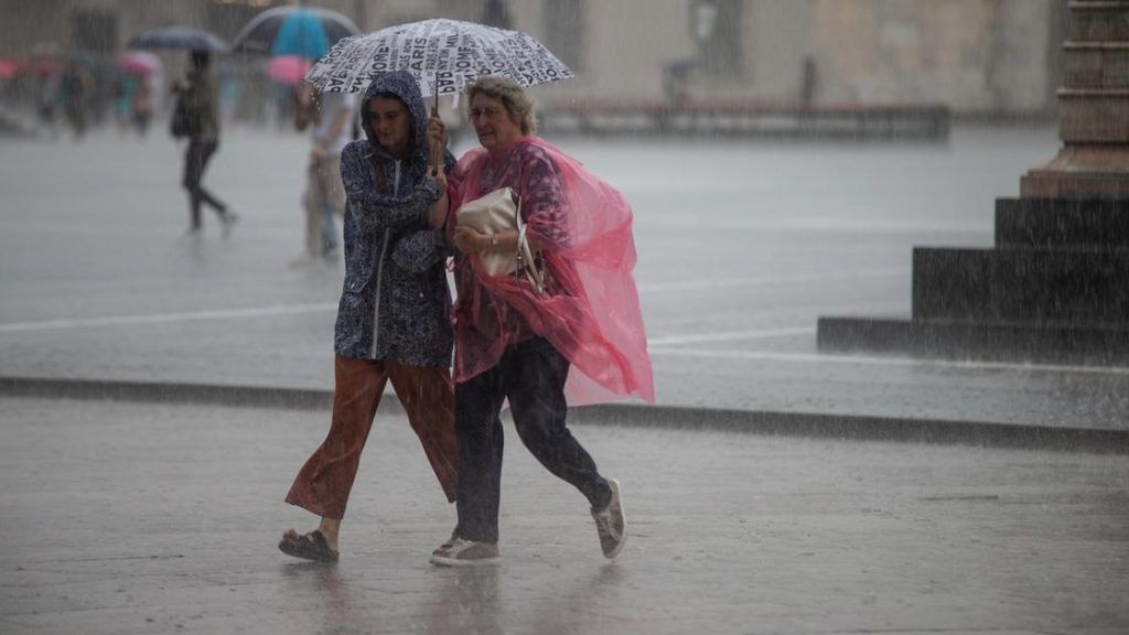
Milan, 19 June 2024 – Here we are: summer officially begins tomorrow. And after months of bad weather, weather warnings and downpours, it seemed that too the climate had “aligned” to the astronomical season. But be careful, because the heat and sun that are characterizing the days in Lombardy and Milan could just be a calm interlude between one disturbance and another.
Indeed, a disturbance it is advancing slowly on the Iberian Peninsula hindered by the anticyclonic promontory that extends from North Africa to the Mediterranean. What does it mean for us? For now, mild southwestern currents persist in Lombardy mostly stable with some clouds and possible showers on the hills. Temperatures rising but since Thursday the progress of the disturbance it will bring greater instability to the western sectors, and on Friday the structure will pass through Lombardyor widespread showers and thunderstorms, to then leave Saturday and Sunday with very variable conditions with scattered and intermittent showers and falling temperatures.
But let’s see the forecasts for the next few days in detail.
Thursday 20 June
State of the sky: irregularly cloudy due to medium and high altitude clouds in the northern and western sectors, partially cloudy or cloudy elsewhere.
Rainfall: from the morning weak on the western pre-Alpine and Alpine sectors, including part of the westernmost plain; also extending to the eastern reliefs during the day and also of a thunderstorm nature in the afternoon. Reducing in the evening.
Temperatures: minimums rising, maximums stationary. In the plains minimums around 20°C, maximums around 29°C.
Friday 21 June
State of the sky: irregular cloud cover spread from the morning, very variable throughout the day, with wider and more persistent clearings from late afternoon.
Rainfall: from early morning widespread showers and thunderstorms, possible across the entire region and locally strong, easing in the evening.
Temperatures: minimums stationary, maximums decreasing.
Winds: in the plains from the northern or western quadrants, to moderate or locally strong and rapidly variable; in the mountains from moderate to strong southern. Generally attenuation in the evening.
The trend
Saturday initially clear or partly cloudy and without precipitation but with a rapid increase in instability and local cloudiness during the day: locally thundery showers possible as early as the afternoon. Temperatures dropping, also moderate in minimum values. Weak or at times moderate winds from the western quadrants in the plains, weak to moderate on the reliefs from the north, rotating from the south and strengthening in the afternoon. Sunday again slightly disturbed with isolated showers and local storms and irregular and variable cloud cover. Temperatures further slightly decreasing. Weak winds from west-northwest in the plains, weak to moderate northerly on the hills.

