

reading time
1 minute, 14 seconds
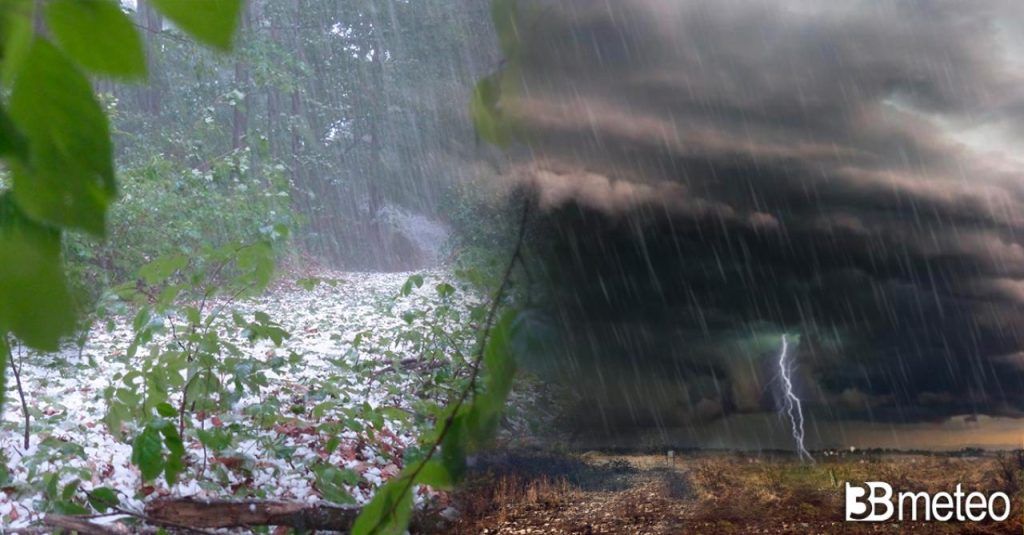
Arctic air which in recent days has penalized Central Europe and Italy change goal and heads straight towards the Western European sector. They are slightly less cold currents than those that have flowed onto our peninsula but they will be sufficient to generate severe bad weather conditions between Spain and France, starting in the next few hours and throughout the May 1st long weekend. At the moment the situation sees strong storms in Aquitaine, the Loire and Brittany but the front is about to also affect the Paris area. Weather agencies The French have already issued numerous warnings for the possibility of storms and flash floods in the western and southern regions. The areas most exposed to the southern humid recall triggered by low pressure will be the area of Pyreneesespecially the Spanish side and so Aragon and Cataloniathen the entire Mediterranean area between Occitania and the Provence-Alpes-Côte d’Azur.
Our modeling elaborations show significant accumulations in the next 48-72 hours with peaks of 150/180mm and therefore with the possibility of flash flood events. Given the strong thermal contrasts with the hot air mass drawn from North Africa, thunderstorms may also be accompanied by strong hailstorms. On northern Spainin northern France and Ireland the arrival of cold currents will lead to less intense phenomena but which may be snowy at relatively low altitudes for the period.


