New storms are expected in the Brescia area this evening, Monday 1st July. The ZenaStormChaser experts explain: “The low level confluences between Bora, Sirocco and the south west will accumulate cape values”, i.e. the available convective potential energy, “locally around 2500J/Kg, with multicells or violent storm lines”, the which will be able to produce downbursts – downward gusts with horizontal motion – with winds of up to “80km/h and hailstorms, locally abundant due to the collapse of ventilation at high altitude”.
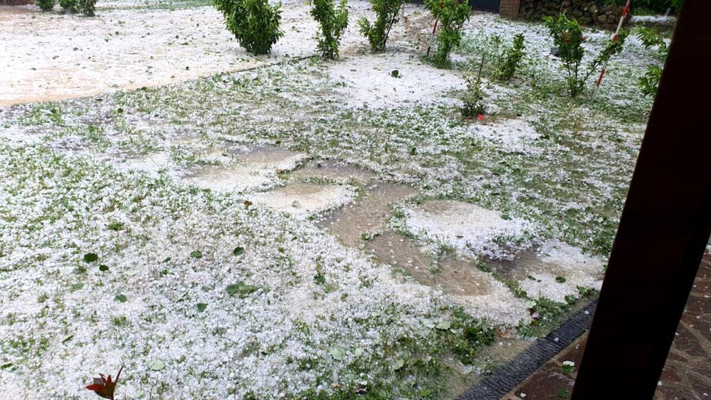
“In the initial phases of multicellular storms – the experts continue – hailstorms with stones up to 4-5 cm in diameter cannot be ruled out, especially along the Po river line. […]. The storms will move from the north-west to the south-east and may cause local flooding and accumulations of hail on the ground.”
According to what ilMeteo.it reports, in the Brescia area thunderstorms with significant accumulations are expected from 8pm to 11pm in the pre-Alpine area and in the high plains, cities and large lakes included. It will also rain in the Bassa, but it seems less heavy. In upper Valcamonica, already hit in recent weeks by landslides and flooding, rainfall is expected to cover the entire day.
