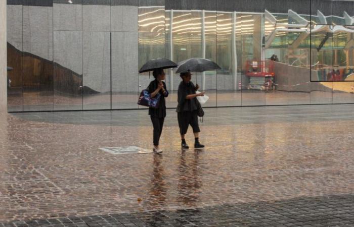
Rain, showers and thunderstorms: the Cold Drop is affecting some areas of Italy, significantly lowering temperatures. But what does it really consist of?
If in some regions of Italy summer has arrived accompanied by scorching temperatures, to say the least, in other areas it almost seems not to want to show up, as if it didn’t want to do its job at all. This delay, however, is perfectly explainable: it is all relative to Cold Dropa meteorological phenomenon that in recent days is particularly affecting the North and Central North of the Peninsula.
The Cold Drop is nothing new: it is an event linked to the weather that has always affected the Mediterranean area and that manifests itself in a more particular way during the warmer months. There is therefore nothing to worry about, because it is a historically documented climate changealthough in relation to global warming it could present itself in a more overwhelming way.
What is the Cold Drop?
But let’s go into detail. The Cold Drop (from the Spanish Cold drop), is, as already mentioned, a meteorological phenomenon. This phenomenon occurs when, at high altitude, a pocket of cold air forms which detaches itself from the main air flowThe pocket of cold air, which is generally at least a hundred kilometers wide, moves, also assuming a narrow and elongated shape.
It is precisely because of the distance from the air flow and its shape that the phenomenon takes the name of Drop: just like what happens to water, the air pocket moves away and takes on a slightly V-shaped shape. Moving away, the Drop comes into contact with other air flows and “interferes” therefore lowers temperatures and triggers a series of reactions, including thunderstorms and downpours.
Where is he from?
The Cold Drop that is currently hovering over the Italian regions, in reality, has had originated in Ireland. To be precise, a low pressure area rich in polar air extended over the Irish skies, which “separated” and generated the phenomenon. Before arriving in Italy, the Drop lingered for a long time over Corsica and now it seems to be continuing its path, although it must be said that this type of climatic event is anything but predictable.
Generally the Cold Drops are slow and what makes it more difficult to know how the period of bad weather will evolve and how long it will last is the aforementioned interaction with decidedly warmer air pockets: let us remember that part of Italy was also affected by the African anticyclone Minos.
What should we expect?
Currently, a return of particularly hot temperatures in the areas affected by the Drop is not expected, at least in the immediate future. Even if it is assumed that from the last days of June the situation could slightly improve, a few weeks will have to pass (probably) before the thermometer rises again.
However, this has also generated relief, given the ever-present heat alert and the forecasts for the coming months, which are anything but rosy. The downside is that further showers, thunderstorms, tornadoes and small tornadoes could occur. The situation is however constantly monitored and in several Regions there have also been Yellow and orange alerts issued to avoid extreme consequences.


