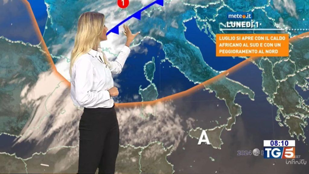
The month of July begins with sun and African heat in the South and in Sicily: here the heat wave reaches its peakwith peaks around 40 degreesbut also locally further afield on the island. In the North, the oppressive heat and mugginess of the past few days have eased more noticeably between Val d’Aosta and Piedmont after the storms and floods on Saturday 29 June. In general the heat is numbered even in the central-southern regions where, by the end of Tuesday 2nd July, it will flow cooler north-westerly air, associated with a phase of marked atmospheric instability.
In fact, until Wednesday 3rd, the weather in our country will be influenced by the transit of two disturbances: the n.1 expected between today (Monday 1st July) and Tuesday and the n.2 between Tuesday evening and Wednesday. Both will be accompanied by rain and thunderstorms, locally intense, and a significant drop in temperatures (even 8-10 in the South and in Sicily).
Between Thursday 4th and Friday 5th new rise of high pressure from the west towards Italyguarantee of mostly stable and sunny weather, with temperatures rising again, on summer levels but without excesses. Over the weekend in the North instability could return for the approach of another disturbance, but it’s still early. We’ll talk about it again.
Weather forecast for today, Monday 1st July
In the North, partly cloudy or cloudy skies and unstable weather, with precipitation more likely from mid-day in Lombardy and Tri-Veneto, in the afternoon-evening also in Piedmont and Emilia. Possible showers or thunderstorms. In the Centre and in Sardinia very irregular cloudiness in transit during the day and tendency to worsen between evening and nightSunny weather in the South and in Sicily, with increasing clouds starting at night.
Very high maximum temperatures in southern regions and Sicily: values even close to 40 degrees, but with peaks of 41-42 in the internal areas of the island; maximum temperatures up to 34-36 degrees in the central Adriatic, not above 28-29 degrees in the North. Venti moderate between Sardinia and Sicily, gusts in thunderstorms. Mari: the Ligurian Sea, the Sardinian Sea and Channel, and the Sicilian Channel were a little rough.
Weather forecast for Tuesday 2nd July
Fairly sunny weather in the North, the Tyrrhenian coast, Sardinia and Sicily, but with isolated showers or thunderstorms in the afternoon in the Alpine areas with possible involvement in the evening of the plains of Piedmont, Lombardy and western Veneto. Very unstable weather in the inland and Adriatic areas of Central-Southern Italy, with numerous showers or thunderstorms.
Maximum temperatures significantly decreasing in the Centre-South, even by 8-10 degrees in the southern regions and in Sicily. Mistral winds strengthening in the Centre-Southup to theses or locally strong in Sardinia and Sicily. Mari: the western seas are rough, the Sea and Channel of Sardinia and the Channel of Sicily are very rough or agitated.
