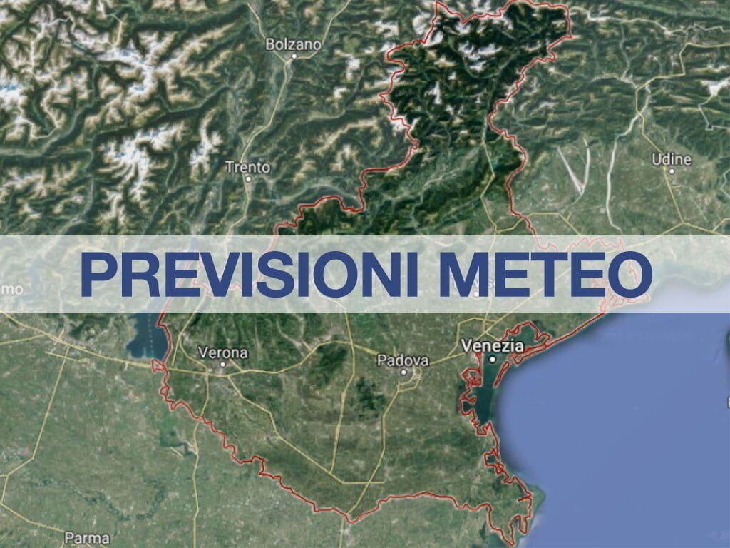
“Between the evening of Tuesday 2nd and the morning of Wednesday 3rd, a phase of unstable/disturbed weather with precipitation also in the form of showers/thunderstorms; locally intense phenomena with heavy showers, even repeated and with locally significant quantities, especially on the central-northern plains and pre-Alpine areas, will be possible on the Prealps and plains.“: this is what the Arpav experts report in relation to the expected weather situation in Veneto in the next few hours. As for the general evolution, the usual bulletin reads: “Cyclonic circulation until Wednesday morning, rain expected especially between Tuesday evening and Wednesday dawn. Then pressure increasing with anticyclonic curvature from Thursday, when temperatures will start to rise again reaching values close to average towards the weekend“.
Today increasing cloudiness starting from the mountains, until the sky is also overcast, more likely in the evening. Scattered rain is expected on the Prealps and localized on the Dolomites and piedmont, more likely in the evening; it will be rain showers/showers/thunderstorms. Temperatures with irregular trend and also significant differences compared to Monday, slightly/moderately below average.
According to the weather bulletin from the experts of Arpa Veneto, Tomorrow The sky is expected to be mostly cloudy, with some overcast and some partly cloudy.
Precipitation: At night going from the mountains to the coast probability from high (75-100%) to medium-low (25-50%) for widespread to scattered rain; it will be drizzles/showers/thunderstorms. During the day probability decreasing, they will tend to stop until they are absent everywhere from the afternoon on the plains and in the evening also on the mountains.
Temperatures: Rising at night and falling during the day, with differences that are also significant compared to Tuesday. Nighttime values close to average, daytime values below average even by a lot.
Winds: On the plains until the morning moderate/strong from the north-east, from the afternoon weak/moderate with variable direction. On the mountains mainly weak/moderate and at times strong, with variable direction in the valleys and from the north-west at high altitude.
Sea: Rough until midday, then calm.
Thursday 4th cloudiness decreasing to clear or partly cloudy skies everywhere from mid-day onwards, in the mountains in the afternoon at times partly cloudy or cloudy.
Precipitation: In the Prealps in the afternoon low probability (5-25%) of local showers/rain showers, otherwise absent.
Temperatures: Falling at night and rising during the day, with significant differences compared to Wednesday.
Winds: Light/moderate. On the plain with variable direction, on the coast and near the reliefs with breeze regime, in the high mountains from the west.
Sea: From slightly rough to calm as the hours pass.
Friday 5th no precipitation, clear or partly cloudy skies, rising temperatures.
Finally, according to the weather forecasts of the experts of Arpa Veneto, Saturday 6th is expected to be mostly clear or partly cloudy, in the mountains in the afternoon cloudy at times with some showers/showers. Temperatures rising.
To monitor the situation in the best possible way weather forecast in real time, below we provide a list of pages with all the useful information to follow the meteorological nowcasting minute by minute:
Below are the links for direct access to the pages with weather forecasts, particularly accurate in detail, for the geographical areas of Italy (links always reachable also from the Menu at the top of all the pages of the site):
Weather Forecast for Veneto and other Regions:
Continue reading on MeteoWeb


