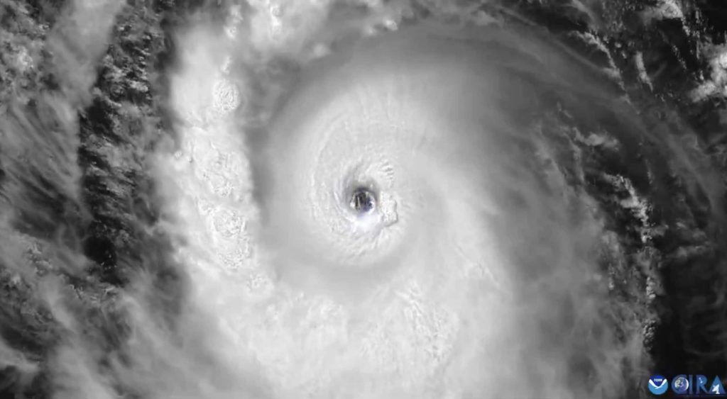
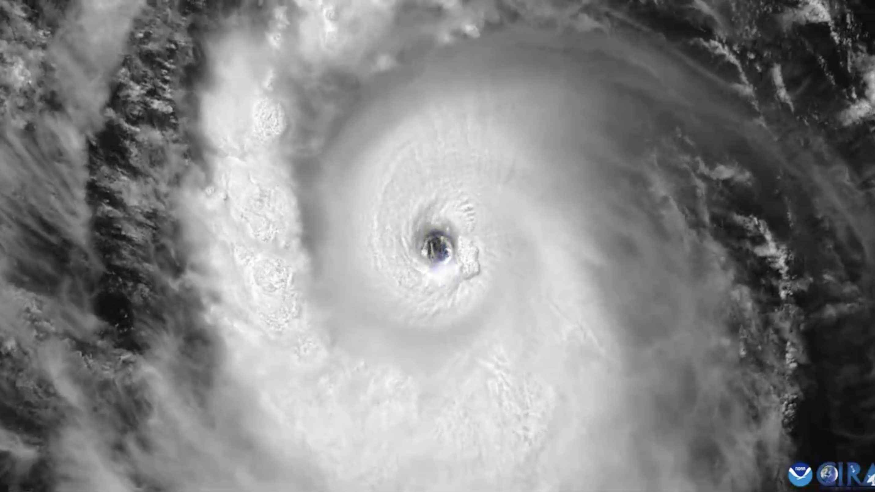
«Potentially catastrophic»: this is how the National Hurricane Center of the United States described theHurricane Berylstrengthened to the point of reaching the Category 5 (the highest in the Saffir-Simpson scale) thus becoming the earliest hurricane Category 5 in the Atlantic Ocean since records began. Hurricane Beryl struck on Monday, July 1 (while still a Category 4) isolated Grenadine of the Caribbean, the isole Barbados with winds up to 270 km/h and storm surges that have created devastating damage, razing entire settlements to the ground and causing at least a confirmed victim. According to the data of the NOAAdating back to 1851, Beryl is the most violent hurricane to hit the Grenadines.
Where Hurricane Beryl Will Pass: The Forecast
The hurricane is being studied by National Hurrican Center of the United States. In a bulletin published at 2:00 p.m. Italian time today, July 2, theNHC warns that «Beryl will bring Life-threatening winds in Jamaica on Wednesday» and announces a hurricane warning for the Cayman Islands. The hurricane is currently moving at 35 km/h towards the west-northwest and, according to NOAA and NHC forecasts, it will continue to move in this direction through the Carribean Seatouching the Jamaica on Wednesday 3 July (with heavy rains and floods) and the islands Cayman Thursday, July 4th.
The hurricane has not diminished in strength over the past few hours, with hurricane-force winds up to 65 km from the center and tropical storm-force winds up to 205 km. The hurricane’s strength is expected to begin to diminish in the next few hours, but it will remain classified as a hurricane until Friday, when its path is expected to pass over Belize and the Yucatan Peninsulain Mexico. Beryl is then expected to upgrade to a tropical storm before making landfall on the coast of Mexico on Sunday, June 7. Winds of over 100 km/h are also expected in Dominica, Martinique and Tobago, where a hurricane warning has been issued.
Beryl’s Records: Why She Reached Category 5 So Early
Beryl was the earliest hurricane to reach Category 4 status in the Atlantic, the first to rise to that category in June, and the furthest to form in the eastern Atlantic. When it transitioned to Category 5 status, it was the earliest since records existbreaking the record set by Hurricane Emily which reached its maximum category on July 17, 2005. Its presence alongside Hurricane Beryl itself at the beginning of hurricane season – while Beryl is more like a full-season hurricane in intensity – suggests that this will be a particularly intense season.
But why was Beryl so precocious? The answer lies in the particularly high temperature of the waters in the tropical Atlantic, which has risen by 3-4 °C compared to the average. According to experts, there are essentially two reasons.
The first is a phenomenon of The boy particularly intense continued until this spring. The fact that El Niño is now decreasing favors the birth and growth of hurricanes because it makes the formation of the so-called wind shearwinds that rapidly change speed and can therefore “cut” hurricanes, preventing them from forming.
The second reason is global warming, which provides heat energy to the oceans, thus “fueling” tropical cyclones to develop into hurricanes very quickly. Beryl, for example, went from a tropical depression to a hurricane in the space of just 48 hoursa speed that has never been seen before so early in the hurricane season. Unfortunately, as scientists have been repeating for decades, climate change is increasing the frequency and intensity of extreme weather events, such as hurricanes.


