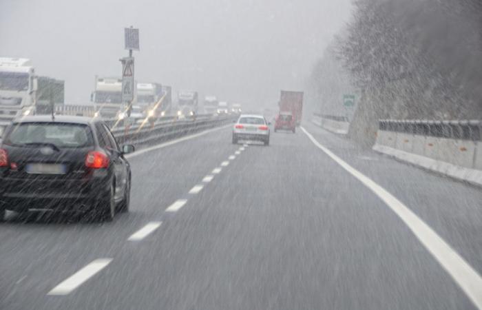
As expected, bad weather hit Friuli Venezia Giulia hard, bringing heavy rain and strong thunderstorms across the region. The front, accompanied by humid and unstable south-westerly currents, caused continuous showers from late morning, especially in mountain areas such as Carnia.
Supercells and wind gusts
In the afternoon, various storm cells, some of them supercellsdeveloped on the plain, bringing very strong linear gusts of wind and intense and localized rains. A convergence of humid winds from the south and winds from the north, originating from thunderstorms on the mid-plain, created a supercell north of Latisana, moving eastward with numerous lightning strikes, intense showers, small hail and strong gusts of wind.
Damages and volunteer interventions
Starting at 12, Over 10,000 lightning strikes were recorded across the regionThe strongest wind gusts reached 97 km/h in Pantianicco di Mereto di Tomba, with significant rainfall accumulations: 113 mm in Pantianicco (49 mm in one hour), 73 mm in Ariis (57 mm in one hour), and 59 mm in Malga Rest. 101 volunteers with 27 vehicles were activated for prevention, flood drainage, removal of branches and positioning of sandbags.
Effects of bad weather on the territory
Several municipalities suffered significant damage. Fallen trees and flooding were reported in Sacile, Polcenigo, Varmo, Morsano al Tagliamento, Rivignano-Teor, Ronchis and Caneva. In San Leonardo, Grimacco and Pasian di Prato, fallen branches and trees were reported. The most serious flooding was recorded in Morsano on the Tagliamento e Rivignano-Contentwhere requests for support for motor pumps and sandbags have been numerous.
A Ronchis, five houses were roofed off and a telephone line was cut off due to fallen trees. Since 12:00, NUE 112 has received over 100 calls for assistance related to the weather event.
Requests to the Fire Department
The firefighters were heavily involved. The Pordenone command received about thirty requests, mainly for fallen trees, and at 5:45 p.m. the queued calls had been eliminated thanks to the support of Civil Protection volunteers. The situation was more critical in Udine, where over twenty interventions were still queued at 5:45 p.m. The interventions involved flooding, fallen trees and roofs blown off. To support colleagues in Udine, a team from the Trieste fire brigade command went to Ronchis di Latisana.
Forecasts and future prospects
In the next few hours, the storm front will move towards the southeastalso affecting the Carso and Trieste, which have been spared from rain so far. The storms could be strong, with locally intense rain, hail and gusts of wind. After the passage of the front, the rains are expected to cease at least until the central hours of Tuesday.
The meteorological event has once again shown the vulnerability of the Friulian territory in the face of extreme weather phenomena. Local authorities and emergency services were prompt in dealing with the situation, but the importance of advance planning and adequate response infrastructure for extreme weather events cannot be stressed enough.
This episode serves as a warning for future preparations, highlighting the need for resources and strategies to minimize damage and protect the population in emergency situations.
Continue reading the news of Diario FVG and follow our Facebook page


